 01
GIS
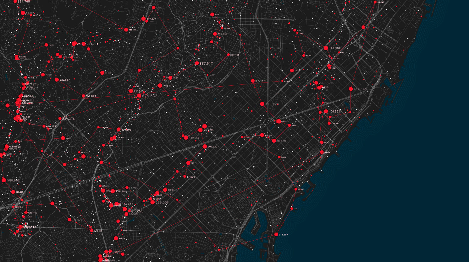
Turn scattered records into one living spatial database.
- GIS database creation
- Spatial analysis & modelling
- Web GIS & dashboards
- Land records & asset mapping
GIS · Remote Sensing · Survey
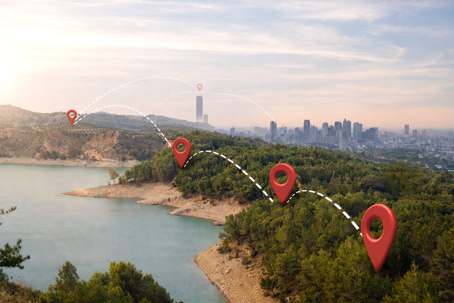
Geospatial technology for government and private sector across India — delivered from our teams in Noida, Gurugram and Jaipur.
● LIVE FIX
LAT 26.9124° N
LNG 75.7873° E
WGS 84 · DGPS
High-accuracy outputs
Experienced geospatial team
Government project expertise
Timely, cost-effective delivery
 Company overview
We combine satellite, drone and field data into accurate maps and analytics that help planners, engineers and administrators act with confidence.
To become a trusted geospatial intelligence company from Rajasthan, enabling smart governance and sustainable development.
How we work
Satellite scenes, drone flights and DGPS field survey.
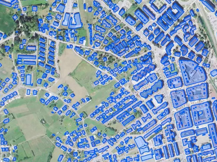
Orthorectification, photogrammetry, DEM/DTM and clean GIS layers.
Spatial models, change detection and decision-ready insight.
Web GIS dashboards, maps, reports and integrated databases.
Core services
01Turn scattered records into one living spatial database.
 02
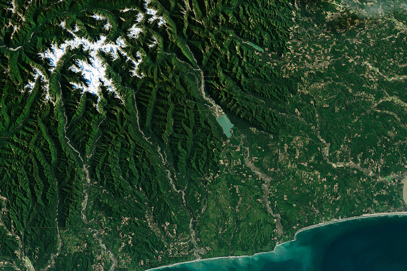
See change across land, water and cities from above.
 03
Ground truth that holds up in the field and on paper.
Technology expertise
Industries served
Department-wide asset registers and Web GIS dashboards for monitoring schemes.
Property mapping, utility networks and ward-level planning layers.
Drone-based progress monitoring, volumetrics and corridor surveys.
Watershed DEMs, land-use change and water body monitoring.
Cadastral digitisation, crop area mapping and ground-truthed records.
Why Core GIS
High Accuracy Solutions
DGPS-controlled survey and rigorous QA on every layer.
Experienced Team
GIS analysts, remote sensing specialists and field surveyors.
Government Project Expertise
Familiar with departmental workflows and standards.
Timely & Cost-effective
Clear milestones and right-sized solutions.
Looking ahead
AI-driven GIS
Automated feature extraction and predictive spatial models.
Proprietary Platforms
Our own tools for faster, repeatable delivery.
Smart City Expansion
Scaling urban intelligence across Indian cities.
Partnerships
National and global collaborations.
Request a proposal
Tell us about your mapping, survey or remote sensing needs.